About me
I turn complex environmental data into scalable, actionable insights with advanced remote sensing, LiDAR, GIS, and spatial analytics.
I specialize in: LiDAR & hyperspectral data processing · data integration · ML for spatial data · GIS decision tools
Actively seeking roles in geospatial data science, environmental tech, and remote sensing.
Research Portfolio
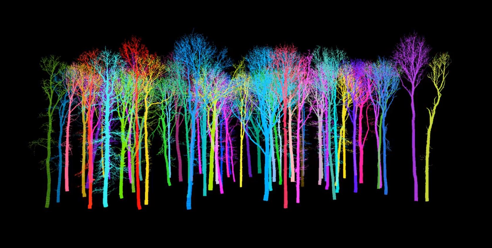
Why do trees look the way they are?
This NSF-funded project uses terrestrial LiDAR to build detailed 3D reconstructions of tree architecture, revealing how leaf arrangement and density impact light absorption and how they emerge from competition, environment, and evolutionary history.
Tree crown architecture in a rainforest
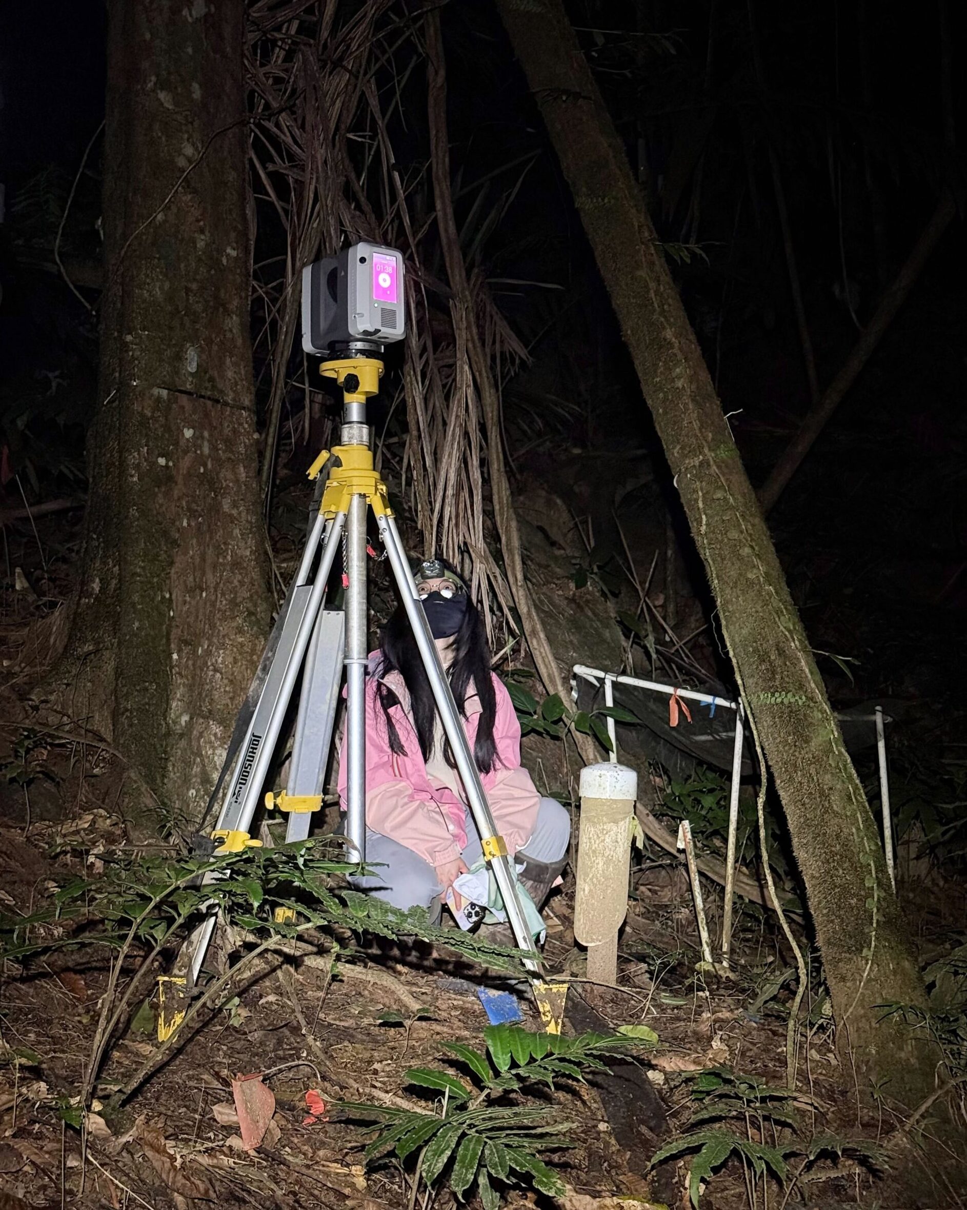
As part of a DOE-funded project, we conducted a terrestrial laser scanning field campaign near the El Yunque forest in Puerto Rico to understand tropical tree architecture, its day-night variability, and its response to drought.
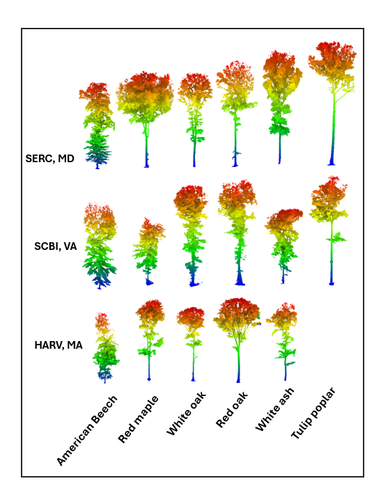
Tree Crown Architecture from Airborne LiDAR
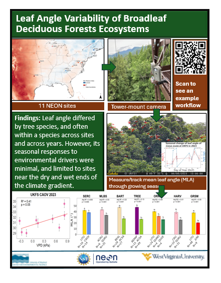
As part of an NSF-funded project, we measured and tested whether the sunlit leaf angle of broadleaf deciduous trees differs across species, environments, and time using three years of time-lapse camera measurements across eleven forests.
Latest news
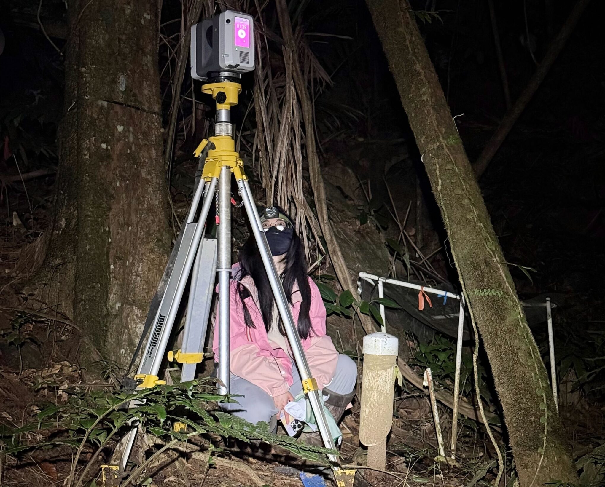
Terrestrial laser scanning at El Yunque forest in Puerto Rico
Successfully completed a terrestrial laser scanning field campaign near the El[…]
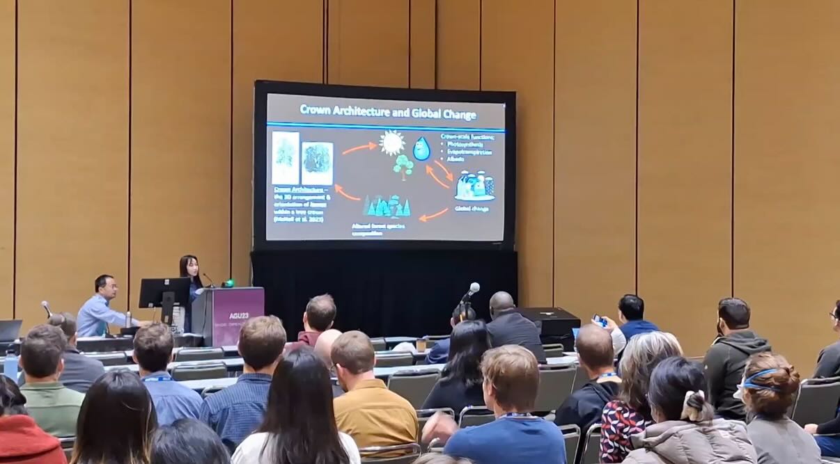
AGU 2023
Presented work on using airborne LiDAR and imaging spectrometer to characterize[…]
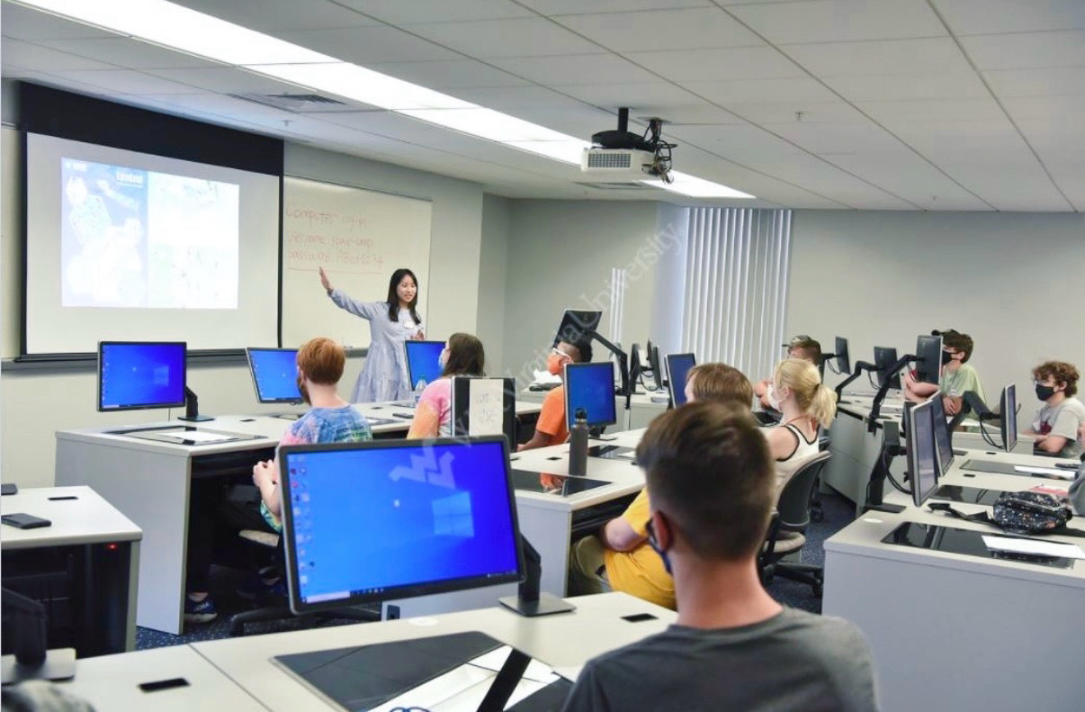
NASA SPACE Camp 2021 Invited Lecture
In partnership with Fairmont State University, NASA IV&V Education Resource Center[…]
Let’s Connect
Open to job opportunities, research collaborations, and project work in geospatial data science, remote sensing, and environmental tech.
Have a role or idea in mind? I’d love to hear from you.